Exploring an undersea terrain sculpted by glaciers and volcanoes

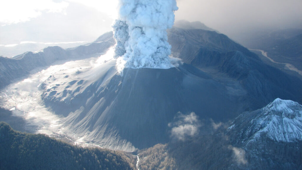
On May 2, 2008, the Chaitén volcano in Chile awoke with unexpected fury after more than 9,000 years of dormancy. The eruption blasted rocks and ash a dozen miles into the air, and then heavy rainfall swept the fallen debris up in immense mudflows. A river of rubble carved a destructive path through the nearby town of Chaitén before surging into the sea. The town, practically split in two by the torrent that cut through its middle, was evacuated as ash blanketed over 200,000 square kilometers of surrounding land.
While the terrestrial aftermath was plain to see, captured by both the local media and satellites, the impact on the sea was unknown.
Mists shroud the hillsides at the entrance to Chaitén Bay, as seen from aboard the Schmidt Ocean Institute’s <em>Falkor (too)</em> research vessel.
Credit:
Alex Ingle / Schmidt Ocean Institute
The eruption released over 750 billion liters of lava—enough to fill more than 300,000 Olympic-sized swimming pools—mainly in the form of rock fragments. The debris flowed through rivers into the Northern Patagonian Sea, just six miles away.


